12 SAVOY CT
Owner Information
BREEN PHILIP J. (TE)
12 SAVOY CT
DRACUT, MA 01826


Property Details
12 SAVOY CT is classified as a Single Family Residential (Colonial).
The primary structure on this property was built in 1998. There are 3,672ft2 of built area within this property. There is 1,800ft2 of residential/living space within this property. This property is listed as having 60 rooms.
12 SAVOY CT is valued at $402,400. The land is valued at $140,000 and the structures are valued at $262,400.
This property is in Zone R3. Confirm with local Zoning Board authorities to ensure there are no overlays or other easements on this property.
The most recent deed for 12 SAVOY CT is recorded at the local registrar in Book 15243, Page 0286. 12 SAVOY CT was last sold on Thursday, May 15, 2003 for $309,900.
Assessment data from fiscal year 2022.
Flood Data
According to the FEMA National Flood Hazard Layer, this property does not appear to be in a flood zone. It may also be in an area not yet reviewed. Nonetheless, confirm this information prior to taking any action.
To view the flood hazards around this property, create a FEMA "Firmette" Map of the area around 12 SAVOY CT.
Broadband Internet Providers
| Provider | Type | Bandwidth (mbps) | |
|---|---|---|---|
| GCI Communication Corp. | Satellite | 0 | 0 |
| T-Mobile | Fixed Wireless | 25 | 3 |
| Comcast | Cable | 1000 | 35 |
| Verizon New England Inc. | DSL | 7 | 0 |
| VSAT Systems, LLC. | Satellite | 2 | 1 |
| Viasat Inc | Satellite | 100 | 3 |
| HughesNet | Satellite | 25 | 3 |
Broadband service provider data from December 2020.
Adjacent Properties
- 39 DAY ST
Accessory Land with Improvement owned by PETERS LEON G - 49 DAY ST
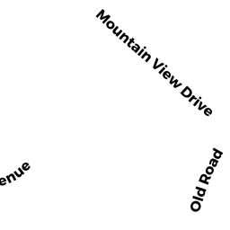
Single Family Residential owned by GENDREAU PAULA A - 30 MOUNTAIN VIEW DR
Single Family Residential owned by BARIL DAVID P (TE) - 49 SAVOY AV
Single Family Residential owned by DOHERTY ATHENE M. - 9 DAY ST
Single Family Residential owned by MERCIER PAUL M., SR. (TC) - 29 DAY ST
Single Family Residential owned by SMITH SUSAN, TRUSTEE